All Blogs articles
Last month, we had the pleasure of running a three-day photogrammetry, archaeological surveying and photography workshop with an incredible group of young people from Merseyside Youth Association (MYA). The participants surveyed the remains of Fort Crosby that are peeking out of the dunes between Hightown and Crosby.
Day One: Digging Into the Past (and Pizza)
We kicked things off at the MYA HQ in the heart of Liverpool. The day started with introductions to the team and an overview of the project’s goals; to explore the hidden heritage of the Fort Cosby; a World War II-era coastal defence site nestled in the dunes north of the city.
Participants were surprised to learn that Liverpool was the second most bombed city in the UK during the war, making its defensive network vital. Fort Crosby played a key role in this defence system. It operated as a gun battery and inspection post, armed with searchlights and anti-aircraft weapons and later a prisoner of war camp numbered 678 to house German Workers and Italian POWs until 1950.

Image: Learning about the history of Crosby Battery

Image: Detail of 1945 aerial photograph of Fort Crosby with rows of minefields visible – thanks to Historic England Archive (RAF photography)
With the context set, we handed the floor over to our Digital Delivery APM, Kit Ackland, who delivered a brilliant and accessible introduction to photogrammetry the process of turning photographs into 3D models. Everyone then got hands-on with small archaeological objects, capturing and processing images to produce surprisingly detailed 3D scans.

Image: Participants taking multiple photographs for detailed 3D models
We wrapped up day one by teaching the basics of archaeological photography including how to use scale bars and proper lighting. And yes, we ordered pizza. Because what’s a workshop without pizza?

Image: What is a workshop without pizza?
Day Two: On-Site at Crosby Beach
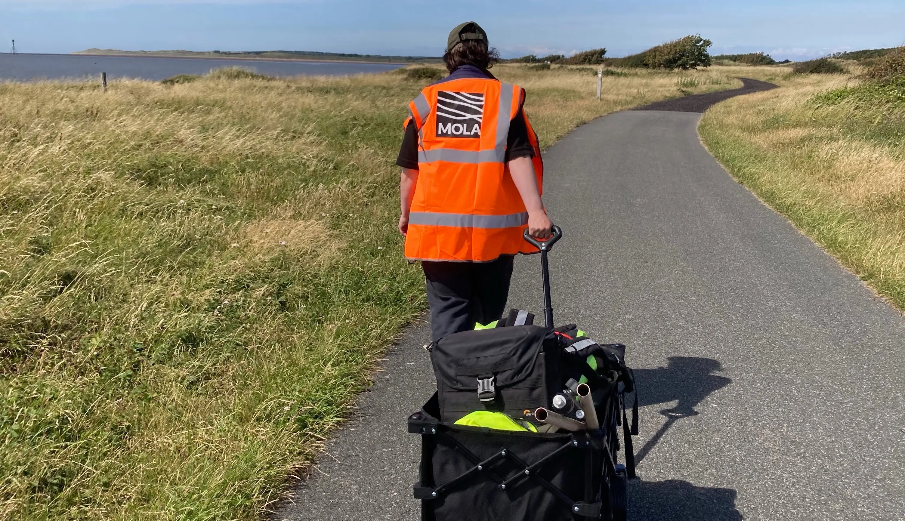
After navigating a few train delays, we arrived at Hightown train station and walked to the coastal path. The remaining structures of Fort Crosby are largely hidden from the path, but small markers helped guide us. Aedan led a walk-through of the area pointing out the six remaining structures which are flat concrete structures with entrance holes and vents with structure three having a large circular hole for the gun emplacement. Kelly gave a quick toolbox talk on safety and site awareness, and then the participants chose their own structure to record.
Each participant chose their own concrete emplacement to document. Armed with MOLA iPhones and their new photogrammetry skills, they got to work capturing images from multiple angles applying everything they learned on day one in a real archaeological setting, complete with pesky brambles and sand build up making it quite difficult to get around all the structures. The was some fun graffiti on the top of building 3 and inside – although we didn’t venture inside this time.

Image: 3D modelling by taking a series of overlapping photographs to create detailed models
Next came archaeological photography, this time with large-scale measuring tools, capturing the features from different angles, getting any detail in such as vents and entrances. The session ended with everyone surveying the parts of the structures which are still visible to create an accurate site plan of the area in 2025.

Image: photographing the structures with scales

Image: Structure 1 with 1m scale – eastern elevation

Image: Accurately surveying to show location and height of remaining structure
Day Three: Creating records on the Coasts in Mind map
We regrouped back at MYA HQ for a day of reflection, discussion, and digital analysis. Everyone had a chance to share their experience of being on-site and how they used their skills in practice.

Image: Uploading our work to the Coasts in Mind map using tablets and laptops
We reviewed the 3D models created the day before, comparing techniques, angles, and results. The quality of the scans was genuinely impressive, showing just how quickly new skills can be applied with the right tools and enthusiasm.
Next, we were joined by Martin the director and co-creator of Humap who is developing the bespoke mapping platform for Coasts in Mind. The participants learnt how to upload their own photographs and 3D models to the map and tested the new drawing tools to annotate their records – this was especially useful in showing the area of Fort Crosby which no longer stands such as the barracks – to illustrate how the area has changed we picked historic photographs from the Coasts in Mind Community archive. One such record shows the demolition of the area in 1984.

Image: Demolition of Fort Crosby in 1984 (Dr Phil Smith)
After more pizza the group reflected on the skills they had demonstrated over the three days from teamwork and problem solving to archaeological surveying and photogrammetry. The group were very enthusiastic about their newfound skills and were delighted to learn that their work will inform on coastal change and heritage of the Sefton coast.
Check out our 3D models here: https://sketchfab.com/3d-models/fort-crosby-building-3-f85af79cb8794dc3a7a11ae19876d8fe
Want to get involved in future projects, or have a group which benefit or be interested in mapping the Sefton Coast archaeology and Heritage? Contact us
Massive thanks to Merseyside Youth Association, Green Sefton and Merseyside HER for helping bring this project to life, and to every participant who jumped into the deep end with energy and curiosity.